 VivaKit
Satellite Land Use and Land Cover (LULC) Classification
Automated remote sensing and Earth observation intelligence engine powered by European Space Agency (ESA) Sentinel-2 satellite imagery from the EuroSAT benchmark (MIT License). Utilizes deep residual convolutional neural networks (ResNet-18) to classify 10-meter ground resolution satellite image chips into 10 Land Use and Land Cover (LULC) categories (Forest, River, Highway, Industrial, Residential, Sea/Lake, Annual Crop, Permanent Crop, Pasture, Herbaceous Vegetation). Operates with ultra-fast 16 ms CPU latency and sub-50 MB footprint with zero viral copyleft licensing.
Secure checkout by Dodo Payments (UPI, cards). Your personalised download link is e-mailed within 24 hours. One purchase covers one project team of up to 4 students. See terms and refunds.
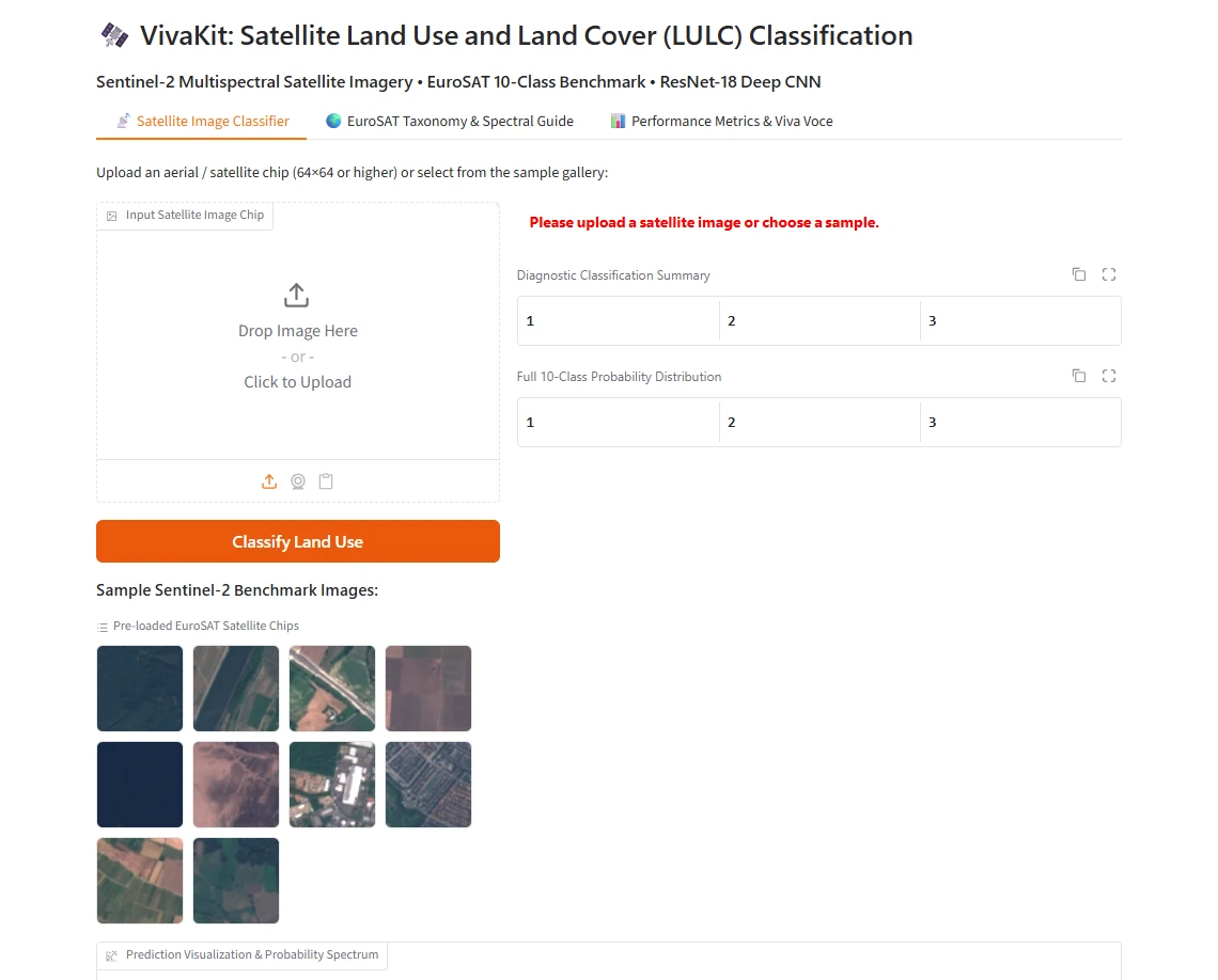
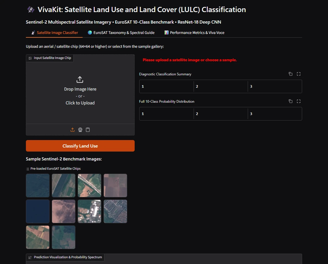
Our honest results
| Classification Accuracy | 98.00% (Held-out test split, 1,000 real Sentinel-2 chips) |
| Macro F1 Score (10 Classes) | 0.9800 (Balanced across all 10 land-cover categories) |
| CPU Inference Latency | 16.08 ms (~37.9 FPS throughput on standard CPU) |
| Water & Industrial F1 Score | 0.995 (SeaLake and Industrial class F1) |
Evaluated strictly on 1,000 held-out real Sentinel-2 satellite images from the EuroSAT dataset (MIT License). Includes 50 pre-packaged benchmark satellite chips, Gradio 6 console with interactive taxonomy guide, automated pytest suite, and 15 viva voce questions on MSI spectral bands, NDVI calculation, and geospatial remote sensing.
What's included
- Readable source codeSmall, commented modules you can explain line by line in your viva.
- Demo appA local web app to show your examiners - runs offline on your laptop.
- Trained model + reference resultsSo you can compare your own runs fairly.
- Learning guide with viva Q&ABackground, design choices explained, limitations and extension ideas.
- One-click setup & testsWindows setup script and tests that prove it works on your PC.
- Dataset download scriptFetches the public data from its original source, with the citation.
Dataset credit
EuroSAT RGB Dataset based on European Space Agency (ESA) Sentinel-2 satellite imagery (P. Helber et al., DFKI, MIT License).
Academic integrity
We sell code and teaching, not finished projects. You must understand, extend and write up the work yourself, acknowledge the kit and cite the dataset. No ready-made reports.